

The sites of the feud are not gathered in one place. They are spread across two states and dozens of miles of winding road on both sides of the Tug Fork, with graves in one hollow, homeplaces in another and courthouses in county seats an hour apart. Seeing them well takes planning. This route puts them in a sensible order over two days, with a third day if you want to add the gorge at Breaks Interstate Park.
Getting into the region
The interstate highways stop well short of feud country. From the north and west, Interstate 64 passes through Huntington and Charleston, West Virginia. From Charleston, US 119, a four-lane highway for much of its length, runs south through Logan to Williamson. From the Kentucky side, US 23 runs south from the Ashland area to Pikeville, and US 460 comes in from Virginia to the southeast.
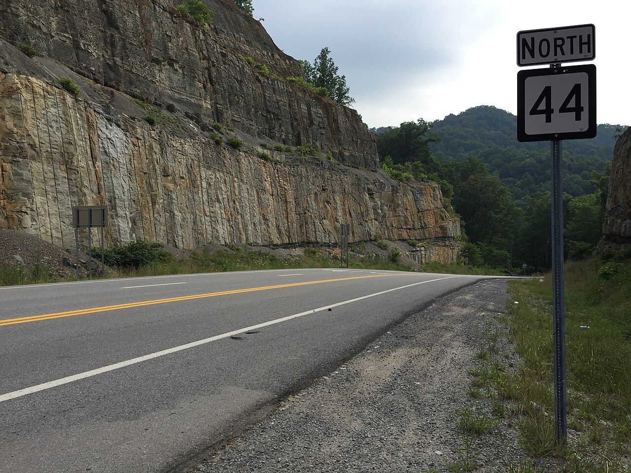
Once you leave those main highways, the roads change. State routes follow the rivers and creeks, with tight curves, narrow lanes and few passing places. Plan for slower travel than the map suggests: what looks like a short hop can take an hour.
Day one: the Hatfield side
Start in Logan County, West Virginia, and work toward the Tug.
- Hatfield Cemetery, Sarah Ann. On WV 44 south of Logan, the family cemetery on a hillside holds Devil Anse Hatfield's grave and his life-size marble statue. A climb from the road leads up to it. See our guide to the Hatfield Cemetery.
- The Island Creek valley. WV 44 follows the creek through former coal towns; the drive itself shows how coal followed the feud.
- Matewan. Continue on toward the Tug and Matewan, where you can spend the afternoon on Mate Street, the 1920 massacre sites and the Mine Wars Museum. See our Matewan guide.
- The pawpaw site. The area near the mouth of Blackberry Creek, where the three McCoy brothers were killed in 1882, is close to Matewan. Markers explain it; the land itself is private.
Give the cemetery more time than you expect. The climb is steep, the statue repays a slow look, and the names on the surrounding stones fill in the family. Matewan, too, is denser than its size suggests.
Stay overnight in Williamson or a nearby town, which gives you an easy start on the Kentucky side the next morning.
Another stop · Tug ValleyThe Hatfield-McCoy feud in briefDay two: the McCoy side
Cross the Tug into Kentucky and follow the McCoy story west toward Pikeville.
- Blackberry Creek and the McCoy homeplace area. KY 319 runs up the creek near Hardy, past the area of the McCoy home that was burned on New Year's night 1888. Markers explain the sites, and some ground is open to visitors while much is private.
- Feud markers along the way. Kentucky and West Virginia have placed a series of historical markers at feud sites. Pull fully off the road to read them.
- Pikeville. Continue to the Pike County seat. Walk the courthouse square, where the feud trials were held, and see the Cut-Through. See our Pikeville guide.
- Dils Cemetery. End the day at the hillside cemetery above town, where Randolph and Sarah McCoy are buried.
An optional third day
From Pikeville, a drive southeast on US 460 brings you to Breaks Interstate Park on the Kentucky-Virginia line. The gorge, overlooks and trails make a good break from the historical sites. Allow most of a day there, then continue out of the region through Virginia or back north. See our Breaks Interstate Park guide.
Roads, trucks and signal
- Narrow roads. Many routes are two lanes with no shoulders, steep drops and blind curves. Keep your speed down and stay well to your side.
- Coal trucks. Loaded trucks use the main roads and some side roads. Give them room on curves and hills, and pass only where it is clearly safe.
- Trains. Rail lines cross roads frequently in the valleys. Wait at crossings; trains can be long.
- Phone signal. Coverage is unreliable away from the towns and main highways. Download maps and directions before you leave, and carry a paper map.
- Fuel. Fill up in towns. Stations can be far apart on the back roads.
- Weather. Heavy rain can cause flooding and rock falls on valley roads.
The roadside markers deserve a word. Many were placed decades ago, and their wording reflects the story as it was told at the time. Where a marker and a later account disagree on a date or a detail, treat the marker as one version among several rather than the last word.
Many of the most interesting places are on private land or are family graveyards. Read markers from public roads, ask before stepping onto private property, and treat cemeteries quietly.
Seasons and best months
Spring and fall are the best times to drive. In April and May, the ridges green up and redbud and dogwood bloom along the roads. September and October bring cooler days and, by mid-October, strong fall color. Summer is hot and humid, with afternoon storms and haze. Winter can be beautiful in clear weather but snow and ice close back roads, and daylight is short.
Weekdays are quieter on the roads in tourist terms but busier with coal and work traffic; weekends see more visitors at the main sites. Events tied to the feud, such as reunions, runs and festivals, are held in some years, often in late spring or early summer; dates change. Either way, start early. The best light and the emptiest roads come in the morning, and you will want the extra hours: the feud country rewards slow travel.